It is unclear when or how this east end was extended, but at some point UDOT took over the next half-mile of road, and 210 now ends just past the Albion base area at a Wasatch National Forest fee booth.
As for the original valley segment of 210: it seems relatively straightforward at first glance, but significant portions of Wasatch Boulevard did not exist as they do today. In particular, today's segment between 3500 East/Creek Road and Big Cottonwood Canyon did not exist, so the original Wasatch Boulevard ran north along 3500 East, then turned to the east on a road that was just north of what's now Brighton Point Drive. It then went northeast along today's Prospector Drive, intersecting Big Cottonwood Canyon Road at its modern junction with Mine Shaft Road.
 |
USGS (Draper), 1952.
|
Most of the rest of Wasatch Blvd appears to have been intact by 1941, but the 1940 census enumeration district map suggests a small portion in the Millcreek Canyon area - between Millcreek Canyon Road and Millcreek Road - hadn't been built yet. Unless the legislative designation was intended for the future Wasatch Boulevard (which seems more likely than not), SR 210 would probably have been signed along short portions of Millcreek and Millcreek Canyon Roads.
 |
US Census, 1940.
|
Finally, back then, there was a direct surface connection from 33rd South/Wasatch Boulevard northeast to Parleys Canyon. Today, this portion of Wasatch Blvd dead-ends at about 3000 South; most of the old alignment is now a freeway ramp between I-80 and I-215. But until the interstates were built, that road connected through to US 40 (unsigned SR 4), and in 1941 it became SR 210:
 |
USGS (Sugar House), 1952.
|
That map was made in 1952, and it illustrates part of a major change that was made to SR 210's valley alignment in 1945. That year, the west end of 210 was moved to the intersection of Highland Drive and Fort Union Boulevard, where SR 152 south from Salt Lake now turned east towards Big Cottonwood Canyon. From that corner, SR 210 went south on Highland Drive, east on Creek Road, and southeast on Danish Road to Wasatch Boulevard, where it rejoined its original alignment and proceeded east up Little Cottonwood. Most of Wasatch was removed from the state system, except for the small portion northeast of 3300 South which became an eastern extension of SR 171.
 |
| USGS (Draper), 1952. |
The next major east-west road north of Creek Road is Bengal Boulevard. That apparently ended at 2300 West at the time the map above was made, but by 1958 it had been extended west to Highland. Since this new connection offered a more direct route from Fort Union/Highland to Little Cottonwood, SR 210 was moved off of Creek and Danish, and onto Bengal and 3500 East:
 |
USGS (Draper), 1963.
|
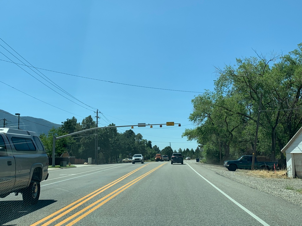
As that map shows, the modern alignment of Wasatch Blvd between 3500 East and Big Cottonwood was in existence by then. In 1969, SR 210 was moved to this road, bringing the route to its present Salt Lake Valley configuration. Highland, Bengal, and 3500 East were removed from the state system.
The route also received a legislative extension to the east in 1969 - but before we talk about that, we'll have to go all the way back to 1941. In addition to SR 210, SR 229 was also created that year. It was defined quite simply by the legislature:
From Alta to Brighton.
That seems extremely vague even for an early legislative description...until you consider that there was actually no road connecting those two points. I see two possible routes this could have taken from Alta to Brighton: one on either side of the 10795-foot Mount Wolverine. The northern route would have climbed northeast from Alta up Grizzly Gulch to Twin Lakes Pass, then descended through the Twin Lakes area to Brighton. The southern route would have climbed southeast through Albion Basin to Catherine Pass, then descended north through the vicinity of the Brighton Lakes - Catherine, Martha, and Mary.
Of note: the elevation of Twin Lakes Pass is 9993 feet, and Catherine Pass is about 10210 feet. Either road, if built, would have easily been the highest state route in the Wasatch and one of the highest in the entire state.
However, the road had not been built by 1969, and SR 229 was decommissioned that year. But apparently the state was still planning to build the road, because the proposed route was transferred to the SR 210 description that year with the added note "roadway to Brighton Loop non-existent".
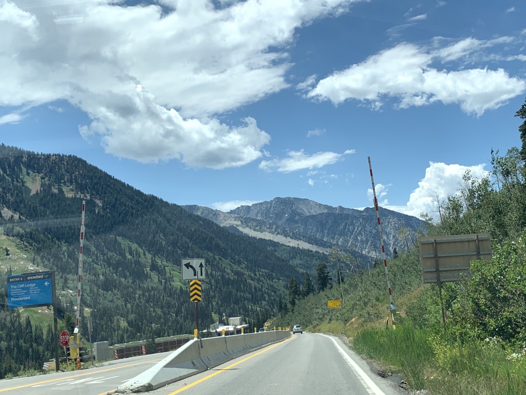
In 1974, a new road known as the Alta Bypass Road was built. Despite its name, it does not bypass the town of Alta but is rather an alternate route to the town from Snowbird. The road is so named because it bypasses a section of the main Little Cottonwood Canyon Road that is extremely prone to avalanches in winter. While Bypass Road is still commonly affected by avalanches, it is a bit more reliable than the main highway to its north. As a result, the year after it opened, it was added as a discontinuous section of SR 210.
 |
| UDOT, 1975. |
In 1987, SR 210 was extended northwest along Wasatch Boulevard and a then-proposed road to I-215 near Knudsen's Corner (the historic name for the intersection of Holladay Boulevard and 6200 South). But this extension would never be signed as 210; the next year, before the new road was finished, it was transferred to SR 190, which had just been created as a renumbering of the Big Cottonwood portion of SR 152. This was done so that UDOT would not have to re-milepost the entirety of SR 210 in addition to SR 190.
Apparently there were still plans to build that Alta-Brighton road as late as 1990, because the unbuilt extension was retained in the updated 1990 legislative description. But whatever plans were still around had been cancelled by 1994, and the east end was officially truncated to Alta, where it has remained since.
 |
UDOT, 2017.
|
To be honest, an Alta-Brighton road would probably be a good idea from a traffic management standpoint since Little Cottonwood is a dead-end canyon, but for once I'm glad it didn't get built. That is an awesome area to hike in summer, and it'd probably be a bit less fun with a state highway going right through the middle of it.


No comments:
Post a Comment